🎉 Beta users receive 3 months of TerraBrain for FREE!
.svg)
Did you know that ancient Egyptians used simple surveying techniques to build the pyramids? Fast forward to today, and we're using satellite imagery and AI to analyze construction sites. The journey of geological data in construction has been nothing short of remarkable.
Traditionally, civil engineers relied on manual surveys and paper maps to gather site information. This process was time-consuming and often prone to errors. However, the digital age has ushered in a new era of data collection and analysis.
Modern technology has revolutionized how we collect and use this data. For instance, LiDAR (Light Detection and Ranging) technology can create detailed 3D maps of terrain in minutes, a task that used to take weeks.
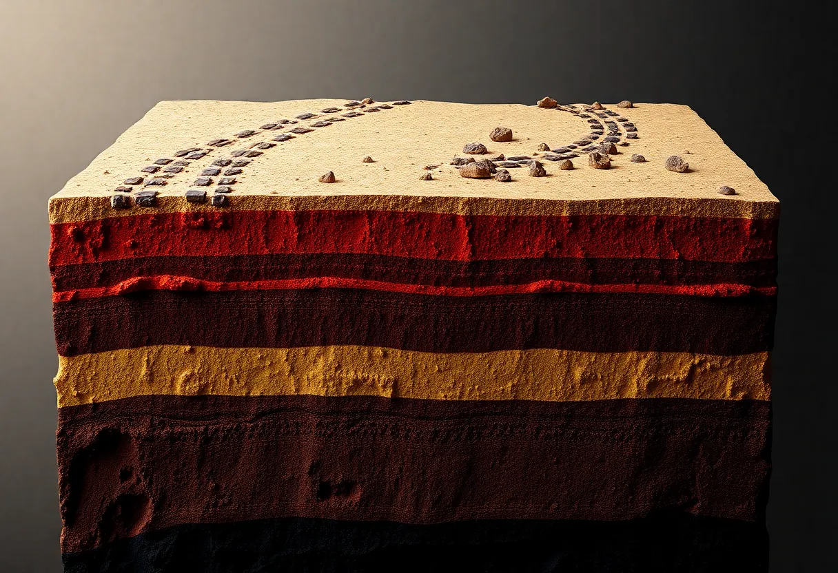
This video showcases advanced exploration strategies that integrate various data sources, much like how modern construction projects use multiple data types for comprehensive site assessment.
The advent of Geographic Information Systems (GIS) has been a game-changer. GIS allows engineers to layer different types of geological data, creating a comprehensive view of a site. This technology has made it possible to:
With tools like TerraBrain, civil engineers can now access a wealth of geological data in seconds, streamlining the site assessment process. This shift from manual to digital methods has not only saved time but also improved the accuracy and reliability of construction projects.
As we continue to advance, the integration of AI and machine learning promises even more precise predictions and analyses. These technologies can help identify patterns and risks that might be missed by human eyes, further enhancing the safety and efficiency of construction projects.
When it comes to construction projects, having the right geological data can make or break your success. But with so many different sources out there, how do you bring it all together?
The key is to start by identifying the most crucial data types for your specific project. This might include soil composition, groundwater levels, seismic activity, and more. Once you know what you need, it's time to gather and organize.
Bringing all this information together used to be a huge headache. Engineers would spend hours jumping between different websites and databases. But now, tools like TerraBrain are changing the game by centralizing data management. This saves time and reduces the risk of missing critical details.
Once you've gathered your data, the next step is making sense of it all. Cross-referencing different data types can reveal important insights. For example, combining soil composition data with flood maps might show areas at risk for erosion.
Here's a simple process for effective data integration:
By following these steps, you'll be well on your way to maximizing the value of your geological data.
Now that you've got all your data in one place, how do you make sense of it? Geological reports can be dense and technical. But with the right approach, you can extract valuable insights for your construction project.
When reviewing geological data, keep an eye out for these important factors:
Spotting these issues early can save you major headaches down the road. It's all about translating technical data into actionable insights for your team.
Don't go it alone when interpreting complex geological data. Bringing geologists and engineers together can lead to better decisions. Here's how to foster effective collaboration:
By bridging the gap between geological expertise and engineering know-how, you'll be better equipped to tackle any challenges that arise.
This video offers a great overview of site characterization methods, which can help you better understand and interpret your geological data.
With all this geological data at your fingertips, how do you use it to make smart choices for your construction project? It's all about leveraging the information to assess risks, optimize your site selection, and keep your project on track.
Use your geological data to identify potential hazards early on. This might include:
Once you've spotted these risks, you can develop strategies to address them. This might involve adjusting your foundation design, implementing erosion control measures, or conducting further environmental testing.
Geological data isn't just about avoiding problems - it can also help you make the most of your site. Use topographical information to plan efficient drainage systems. Leverage soil composition data to choose the best foundation type. By aligning your design with the natural features of the land, you can create more sustainable and cost-effective structures.
Tools like TerraBrain can help you quickly access and analyze this data, making it easier to compare potential sites and make informed decisions.
Construction doesn't stop once you break ground. Continuous monitoring of geological conditions throughout the project can help you stay ahead of potential issues. This might include:
By keeping a close eye on these factors, you can adjust your plans as needed and avoid costly surprises down the road.
Remember, maximizing geological data isn't just about gathering information - it's about using that data to make smarter, safer, and more efficient construction decisions. With the right tools and approach, you can turn complex geological information into a powerful asset for your projects.
Geological data is the bedrock of successful construction projects, but using it effectively isn't always smooth sailing. Let's dig into some common hurdles and how to overcome them.
Data quality can make or break a project. Outdated or inaccurate information leads to costly mistakes. To tackle this, smart engineers are:
Gaps in geological data are another headache. When faced with incomplete information, successful teams often:
Balancing data-driven insights with real-world constraints is a tricky but crucial skill. The best engineers know when to trust the data and when to rely on experience. This balance often involves:
Tools like TerraBrain are changing the game by bringing together diverse data sources in one place. This integration helps spot inconsistencies faster and gives a more complete picture of site conditions. By streamlining access to critical information, these platforms allow engineers to spend less time hunting for data and more time analyzing it effectively.
As geological data becomes more abundant and complex, the key to success lies in efficient management and interpretation. Engineers who master these challenges set themselves up for smoother, more successful projects with fewer surprises along the way.
Geological data plays a big role in construction projects. Using it well can save time and money. We've seen how important it is to gather good data and use the right tools to understand it.
New tech is making it easier to work with geological info. Things like 3D mapping and AI are helping engineers spot issues faster. This means safer buildings and smoother projects.
But having lots of data is only useful if you can make sense of it quickly. That's where tools like TerraBrain come in handy. They put all the important stuff in one place, so you don't waste time digging around different websites.
The future of construction looks data-driven. Engineers who know how to use geological info well will have an edge. It's worth taking some time to learn about these tools and methods.
Got questions about using geological data in your projects? Check out our FAQ section below for some common queries and helpful answers.
Geological surveys provide crucial information about soil conditions, rock formations, and potential hazards. This data helps engineers design safer structures, estimate costs more accurately, and avoid unexpected issues during construction. While surveys can be expensive upfront, they often save money in the long run by preventing costly surprises or failures.
It's important to ensure you have the right to use and share geological data. Some key considerations include:
Interpreting geological data requires a mix of technical and analytical skills. Key abilities include:
Streamlining geological data processes can save time and improve accuracy. Some effective strategies include using standardized data collection methods, leveraging digital tools for faster analysis, and centralizing data storage. Tools like TerraBrain can help by aggregating multiple data sources into one easy-to-use platform, reducing the time spent searching for and compiling information.
The frequency of updates depends on the project's duration, scale, and location. For short-term projects in stable areas, initial surveys may suffice. However, long-term or large-scale projects often benefit from regular updates, especially in areas prone to geological changes. It's best to consult with a geotechnical expert to determine the right update schedule for your specific project needs.